Description
You will learn practical skills that can be applied to your own work using cutting-edge software
In this first course of the specialization GIS, Mapping, and Spatial Analysis,
You'll learn about what a GIS is, how to get started with the software yourself, how things we find in the real world can be represented on a map, how we record locations using coordinates, and how we can make a two-dimensional map from a three-dimensional Earth.
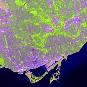
In the course project, you will create your own GIS data by tracing geographic features from a satellite image for a location and theme of your choice.
This course will give you a strong foundation in mapping and GIS that will give you the understanding you need to start working with GIS, and to succeed in the other courses in this specialization.


