Description
In this course, you will :
-
Install QGIS and Google Earth Engine
-
Import CSV and GIS data into QGIS
-
Understand projection and coordinate systems
-
Download and map raster data from public repository
-
Learn to differentiate between vector and raster data
-
Perform spatial query with tabular data
-
Perform point pattern analysis
-
Generate Heatmap using Kernel Density Algorithm
-
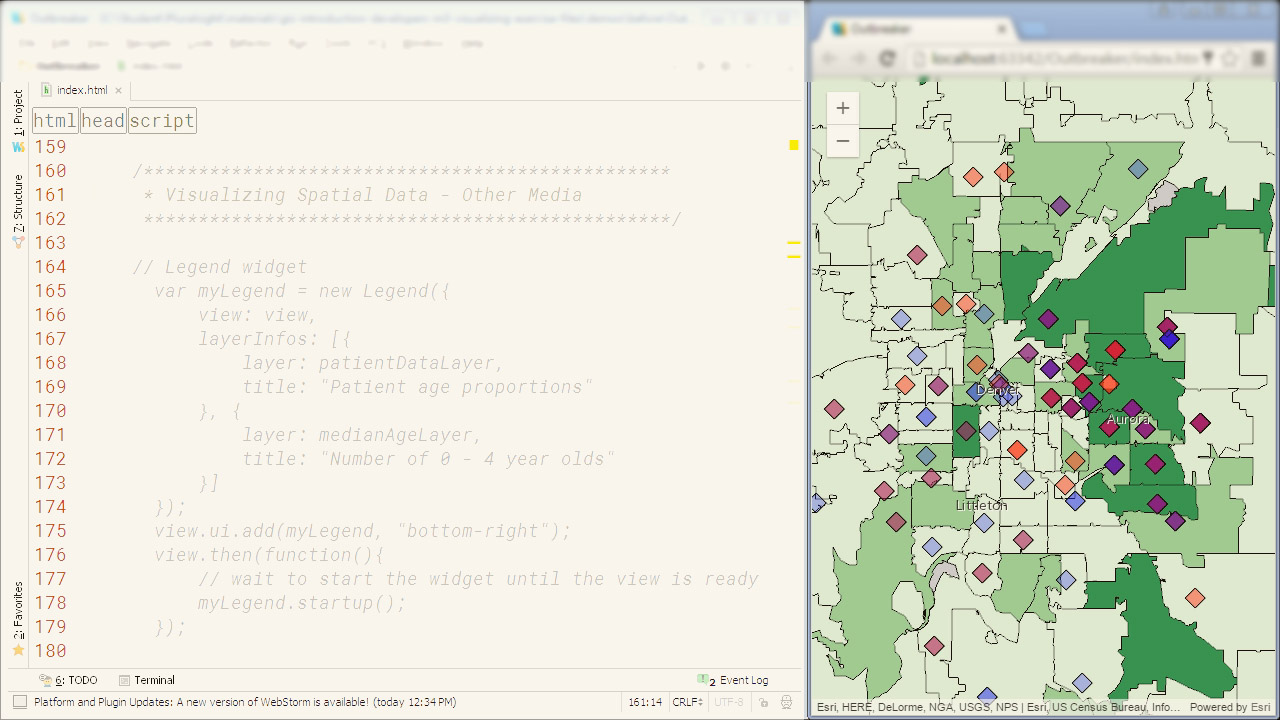
Learn to create and share online maps using web GIS platforms
-
Learn to perform various spatial analysis including buffer, joins, clipping and other spatial analysis
-
Complete a final GIS project on downloading, processing, analyzing and visualizing geospatial data.


