Description
In this course, you will learn :
- Use free satellite imaging platforms like Google Earth Pro to perform basic remote sensing tasks.
- Determine the fundamental archaeological processes that influence site formation.
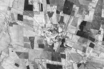
- Using satellite imagery, identify a variety of archaeological sites.
- Using remote sensing techniques, assess threats and damages to heritage sites.
- Make maps with Google Earth Pro.
Syllabus :
- Using satellite imagery for archaeology
- Seeing archaeology
- Seeing damage
- Landscapes of mud
- Landscapes of stone
- Communicating information: making maps


